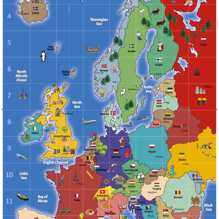
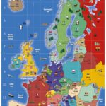
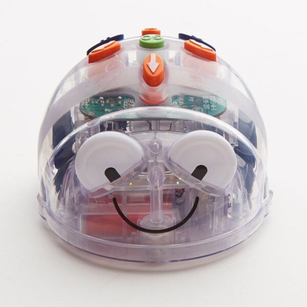
European Bee-Bot Map 145 x 80cm
Bright, engaging and highlights the physical locations of countries, capitals, seas and oceans.
With alpha/numerical grid for coordinate work and imagery to encourage further discussion about the human characteristics of each country.
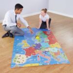
Printed on non-fading and tough, scratch-resistant vinyl, with eyelets so it can be used on walls for display or on the floor as a mat. Suitable for use in Geography, Maths and ICT. Designed specifically to meet the needs of children by providing necessary information without the normal, incidental clutter that can confuse!
Size: 145 x 80cm
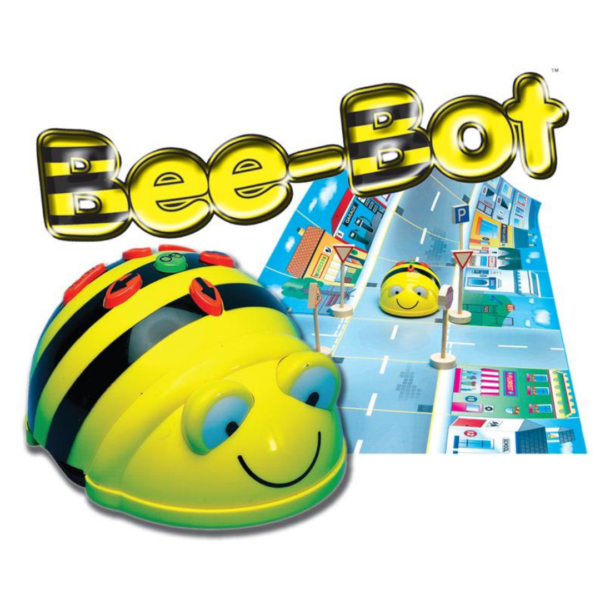
For use with BeeBot and BlueBot
See other mat here
